Flood Potential: Low
Ice Jam Potential: Moderate
Issued to: local municipalities and school boards, local conservation authorities, emergency response agencies, health unit, media
Date: January 25, 2024 (3:00 PM)
The Nottawasaga Valley Conservation Authority (NVCA) advises that precipitation, above freezing temperatures, and associated snowmelt are likely to result in above seasonal water levels throughout the watershed over the next several days. The public, especially children, are advised to stay away from all area water bodies as unstable ice cover, slippery banks and fast flowing watercourses will result in dangerous conditions.
Weather Situation:
Temperatures are expected to rise above freezing over the next several days and will be accompanied by 27mm of rain between Thursday, January 25th and Friday January 26th. As of January 22nd, the average water content contained within the snowpack was 36mm. Sustained warm temperatures and primarily frozen soils will cause the melting snow to run-off quickly to local watercourses.
Risks:
Local watercourse flows are elevated due to the recent rain in our watershed. Under milder temperatures, snow will start melting gradually and the snowpack will become saturated with water. As a result, the rain on Thursday and Friday will produce substantial runoff.
Under these conditions, water levels and flows in local watercourses will increase. No major flooding is expected at this time, but some watercourses may reach or exceed their banks, leading to localized flooding in floodplains, low-lying areas, and areas with poor drainage.
In addition, milder temperatures and rain could weaken and cause the breakup of the ice cover where it exists, causing localized water level increases and flooding. Melting snow and runoff will result in increases in flows and possible ice break up. At this time of year there is always the potential for localized flooding from ice jams.
Actions:
Stay away from watercourses, especially areas previously covered with ice, as conditions can change rapidly. Watercourses will be high and fast flowing, the banks may be slippery, and ice cover will not be stable. Please exercise caution if you must be around any bodies of water, rivers or streams as well as the Georgian Bay shoreline. Avoid areas already experiencing erosion or blockages with debris, including ice jams. Please keep children and pets away from banks as they may be slippery and unstable.
Nottawasaga Valley Conservation Authority staff will be monitoring the situation closely and will provide an update if conditions change. This message will be in effect until (or updated before) noon on Sunday, January 28th, 2024.
For additional information, please check our website at: www.nvca.on.ca
Taryn Arsenault
Flood Duty Officer
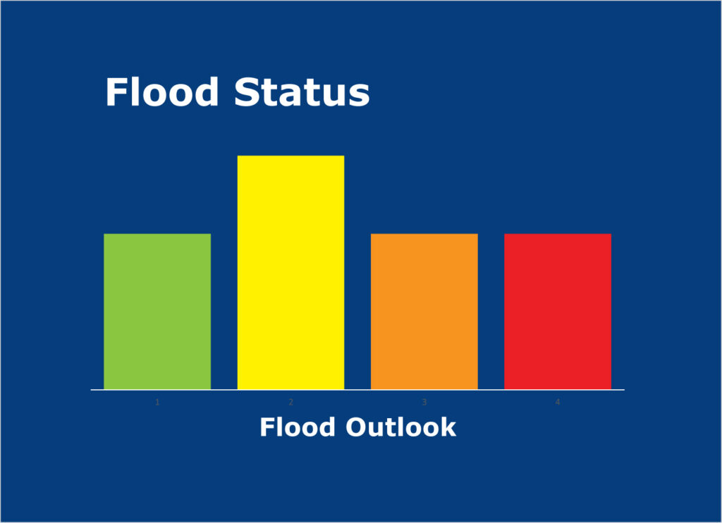
A Watershed Condition Statement is a general notice of weather conditions that could pose a risk to personal safety or which have the potential to lead to flooding. A Flood Outlook message is an early notice of the potential for flooding based on weather forecasts calling for heavy rain, snow melt, high wind or conditions that could lead to high runoff, cause ice jams, lakeshore flooding or erosion.