
Starting in Nicolston, this section of the river features a series of small rapids making it suitable for more experienced paddlers.
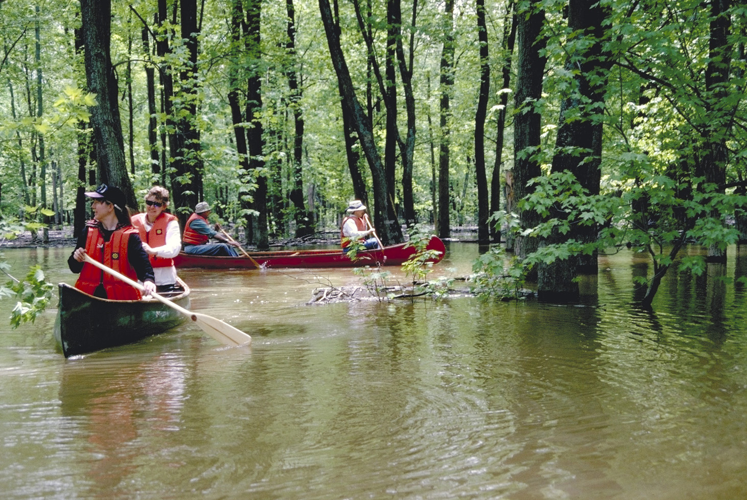
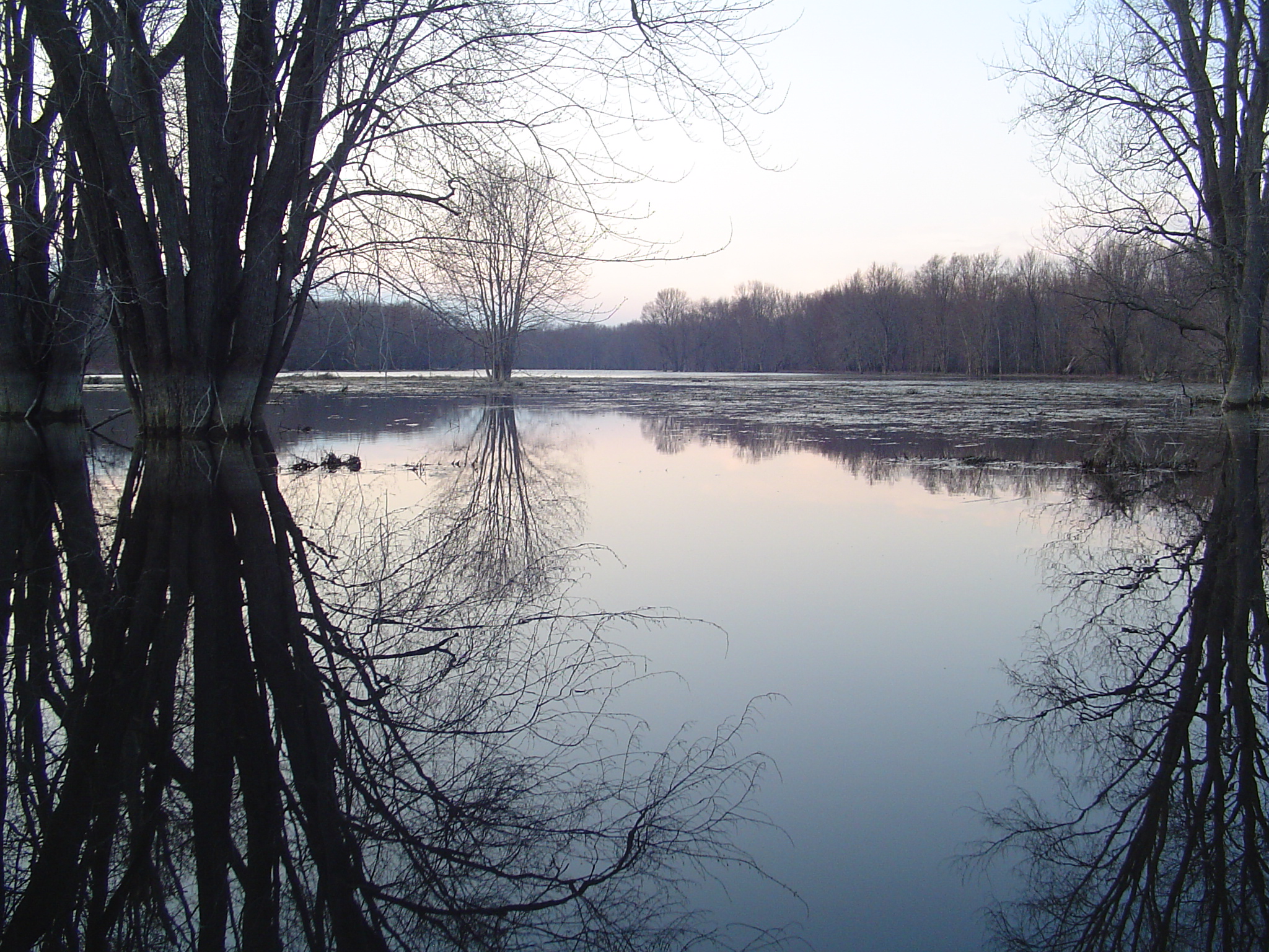
Experience wilderness paddling close to home! The internationally-significant Minesing Wetlands feature swamps, marshes and fens to explore.
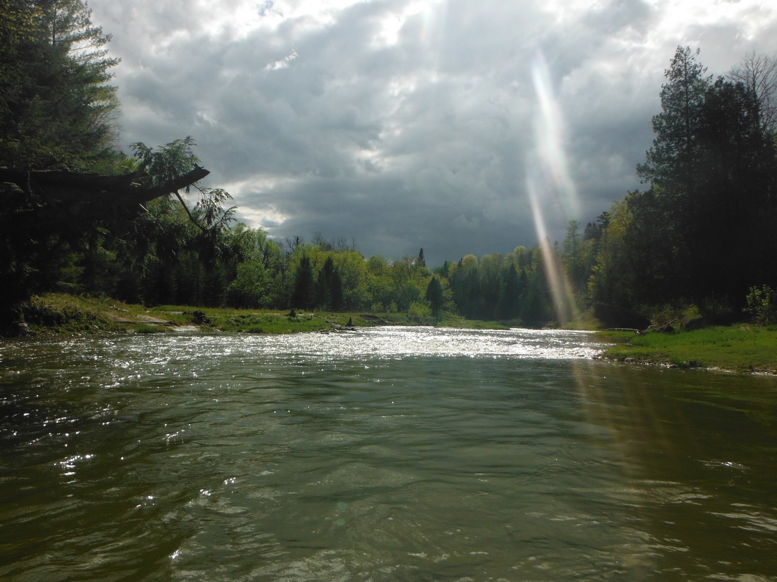
About this section – Nottawasaga River: The Nottawasaga River (Angus to Edenvale) is navigable however, there are significant log jams (up to a couple hundred metres in length) that may require portaging – and very slippery banks to ascend.
About this section – Mad River: The Mad River route is navigable but be prepared for small log jams, tight squeezes and/or short carry-arounds. The river opens up as it approaches the Nottawasaga River. Similar to the Willow Creek Marsh, it can be a lake in the springtime with no clear reference points (and attendant dangers). The “re-entry” point (where it enters the silver maple swamp is at UTM 587350 4917146 (Lat/Long 44.402254 -79.903071). Please note that the Nottawasaga often backs up into the Mad River at this point – in these conditions you actually have to paddle upstream (north) to get to the Nottawasaga – though you’re sure you should be heading downstream.
Take Safety Seriously: Minesing Wetlands is not suitable for those who have little to no paddling experience. If you are a skillful paddler, but do not know your way around Minesing Wetlands, we recommend going with an experienced guide. If you are planning to explore the Minesing Wetlands, be sure to read our Minesing Safety Tips before heading out so you are prepared!
This route through the Minesing Wetlands showcases open marsh habitat. Birders will not be disappointed.
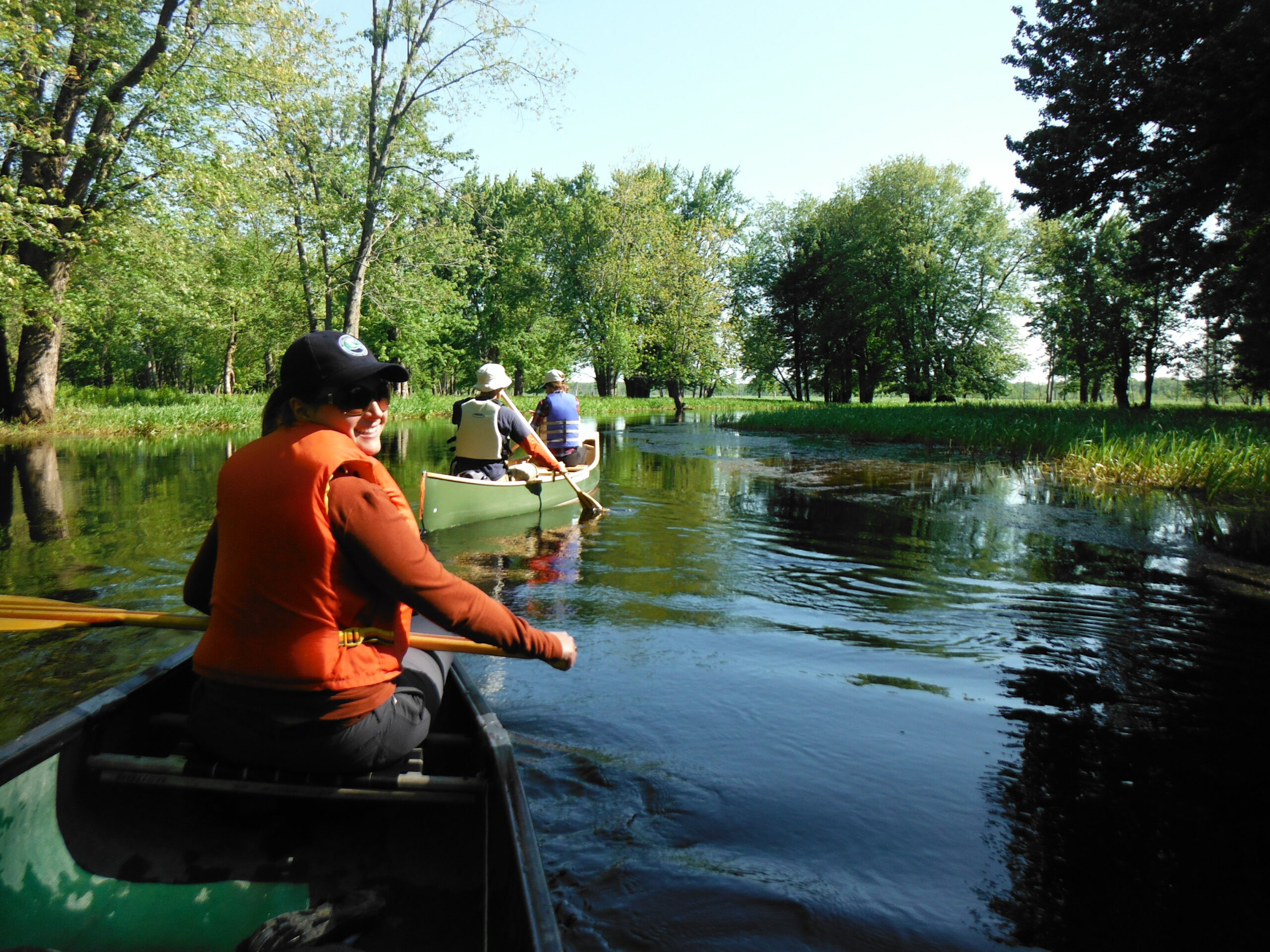
About this section: Launch at the Willow Creek Corral on George Johnston Road and exit at Edenvale Conservation Area (Hwy 26) – about 4-5 hours. There is a technical “narrows” section about half hour into the trip – please follow the staked arrows to find your way – the creek branches here and you can get lost/stuck if you take the wrong branch.
Many people get lost in the Willow Creek Marsh as it becomes lake-like and you can lose the creek channel. The “re-entry” point (where it enters the silver maple swamp near the Nottawasaga River) is at UTM 589089 4918425 (Lat/Long 44.414226 -79.881549). From there, the creek channel and tree markers should be visible. Please note that windy conditions can make the Willow Marsh very challenging/unsafe (whitecaps).
Take Safety Seriously: Minesing Wetlands is an isolated natural area. If you are planning to explore the Minesing Wetlands, be sure to read our Minesing Safety Tips before heading out so you are prepared!
Jack’s Lake is a popular open-water fishing spot, and is an easy paddle suitable for families with young children.
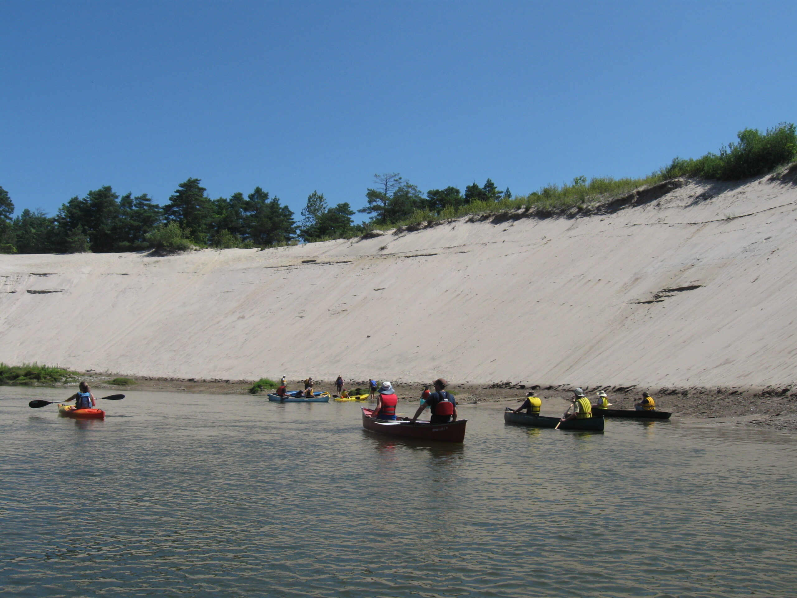
Enjoy spectacular dune formations and a great variety of plants and wildlife as you paddle this reach of the river.
![]() Planning your Visit
Planning your Visit
- Parking Fees
- Hiking & Paddling Safety Tips
- Conservation Areas in Ontario
- Map of NVCA Conservation Areas
- Accessible Trails
- Upcoming Events
Let us know how you enjoyed your visit! Complete our short feedback survey.