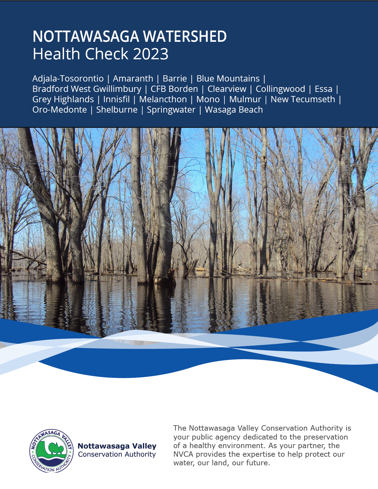
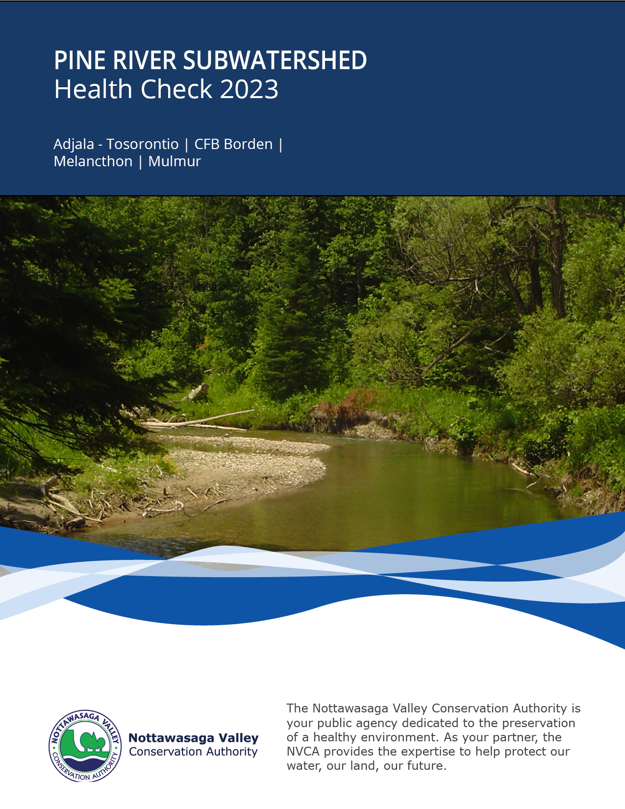
NVCA has produced nine subwatershed health checks and one watershed-wide health check in 2023. The health checks provide an overview of forest, wetlands, stream and groundwater health within the larger NVCA watershed. They also identify stewardship priorities, future challenges and opportunities to improve environmental health.
Our science monitoring staff collects samples from forests, wetlands, streams and groundwater for data analysis. Our stewardship staff uses this information to determine the success of past restoration projects and areas in need of improvement.
Explore NVCA’s subwatershed health checks below!
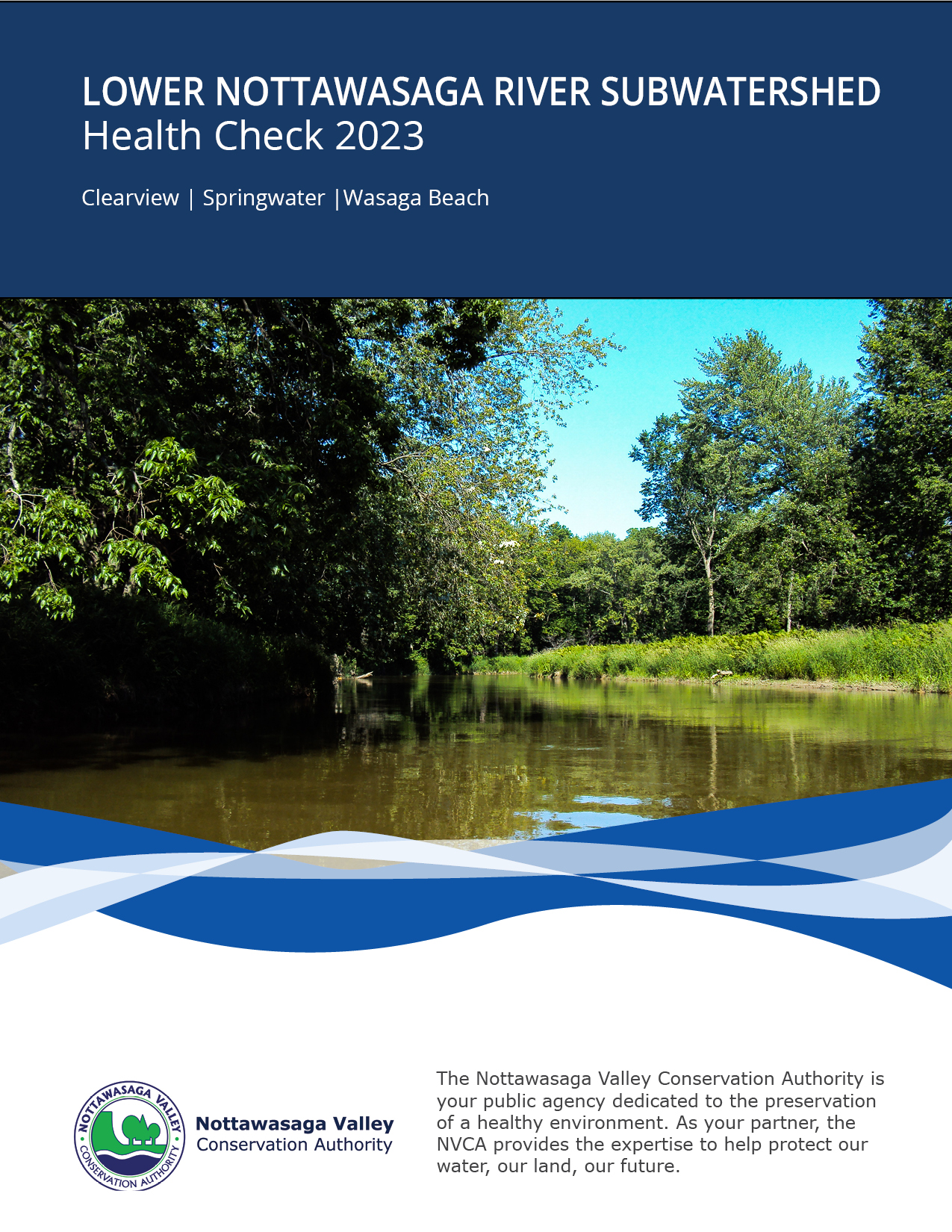
Nottawasaga River Health Check
NVCA is one of 36 Conservation Authorities across Ontario and is a proud member of Conservation Ontario. Our watershed is approximately 3,700 km2, with jurisdiction in 18 municipalities and is the source of watercourses that flow into Georgian Bay at Wasaga Beach, Collingwood and Severn Sound. It includes 35 km of Georgian Bay shoreline along the Wasaga Beach and Collingwood waterfront.
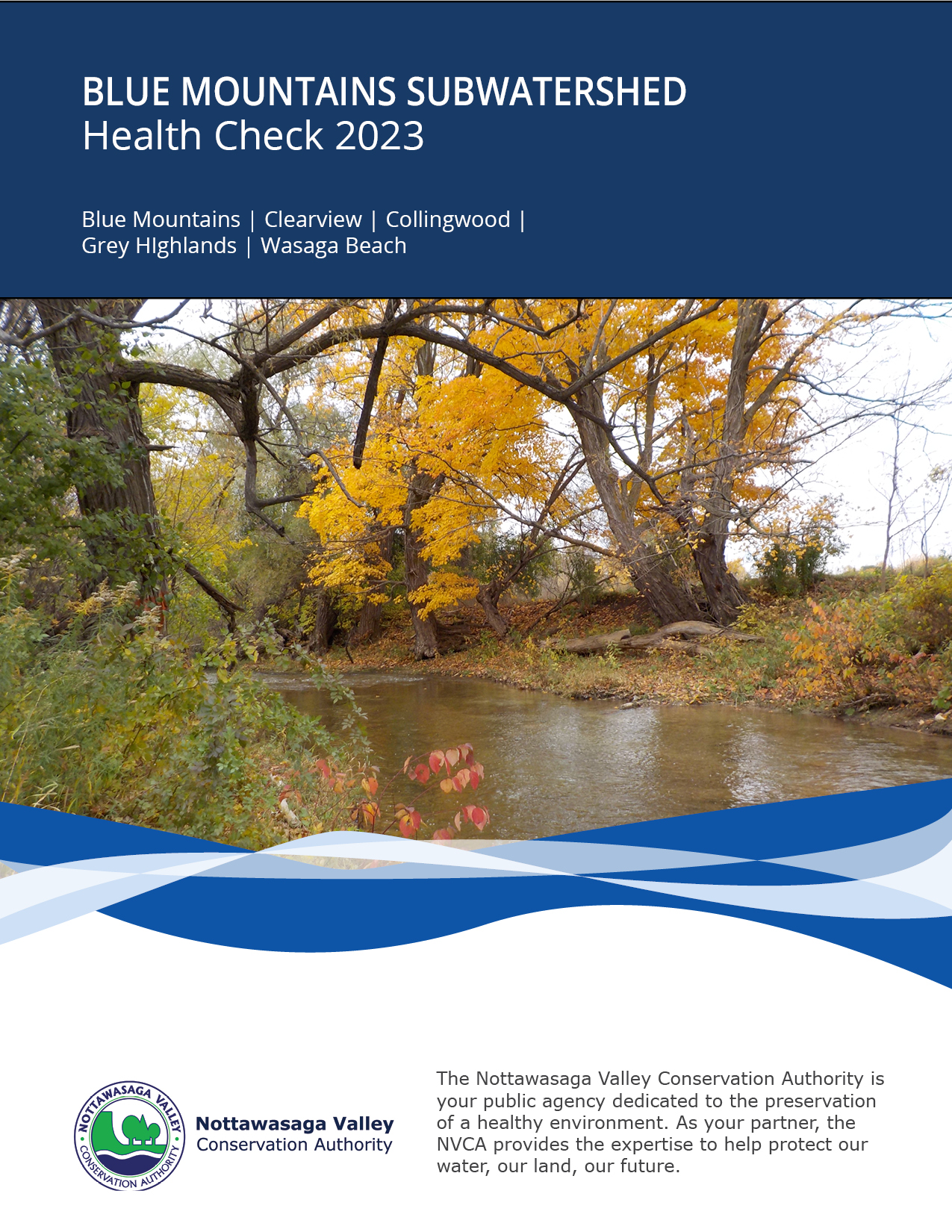
The Blue Mountains subwatershed consist of four main creek systems, all originating from the Niagara Escarpment – a World Biosphere Reserve.
It covers the the Township of Adjala-Tosorontio, Township of Amaranth, Township of Essa, Township of Melancthon, Town of Mono, Township of Mulmur, Town of New Tecumseth and the Town of Shelburne
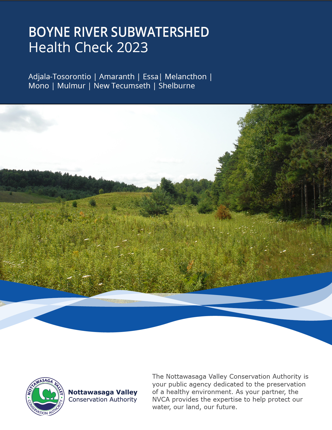
The Boyne River subwatershed arises as a series of tributaries from headwater wetlands northwest of Shelburne.
It covers the the Township of Adjala-Tosorontio, Township of Amaranth, Township of Essa, Township of Melancthon, Town of Mono, Township of Mulmur, Town of New Tecumseth and the Town of Shelburne
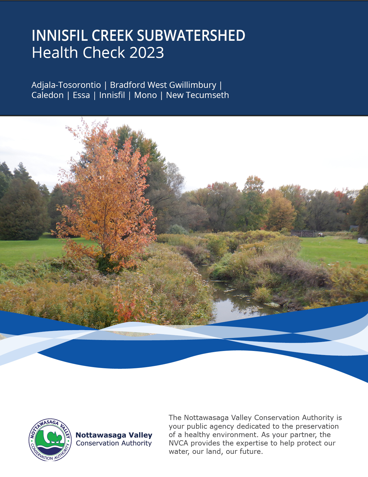
The Innisfil Creek subwatershed consists of Innisfil Creek, Bailey Creek, Beeton Creek and Penville Creek – that drain the southeast portion of the Nottawasaga River watershed
It covers the Township of Adjala-Tosorontio, Town of Bradford West Gwillimbury, Town of Caledon, Township of Essa, Town of Innisfil the Town of Mono and the Town of New Tecumseth
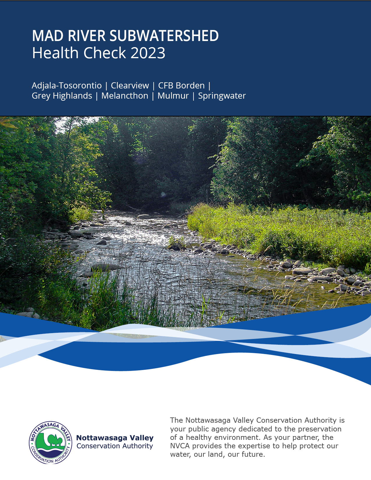
The Mad River arises as two stream branches (Mad River and Noisy River) within a series of wetlands west of the Niagara Escarpment.
The Mad River subwatershed covers the Township of Adjala-Tosorontio, Township of Clearview, CFB Borden, Municipality of Grey Highlands, Township of Melancthon, Township of Mulmur and the Township of Springwater
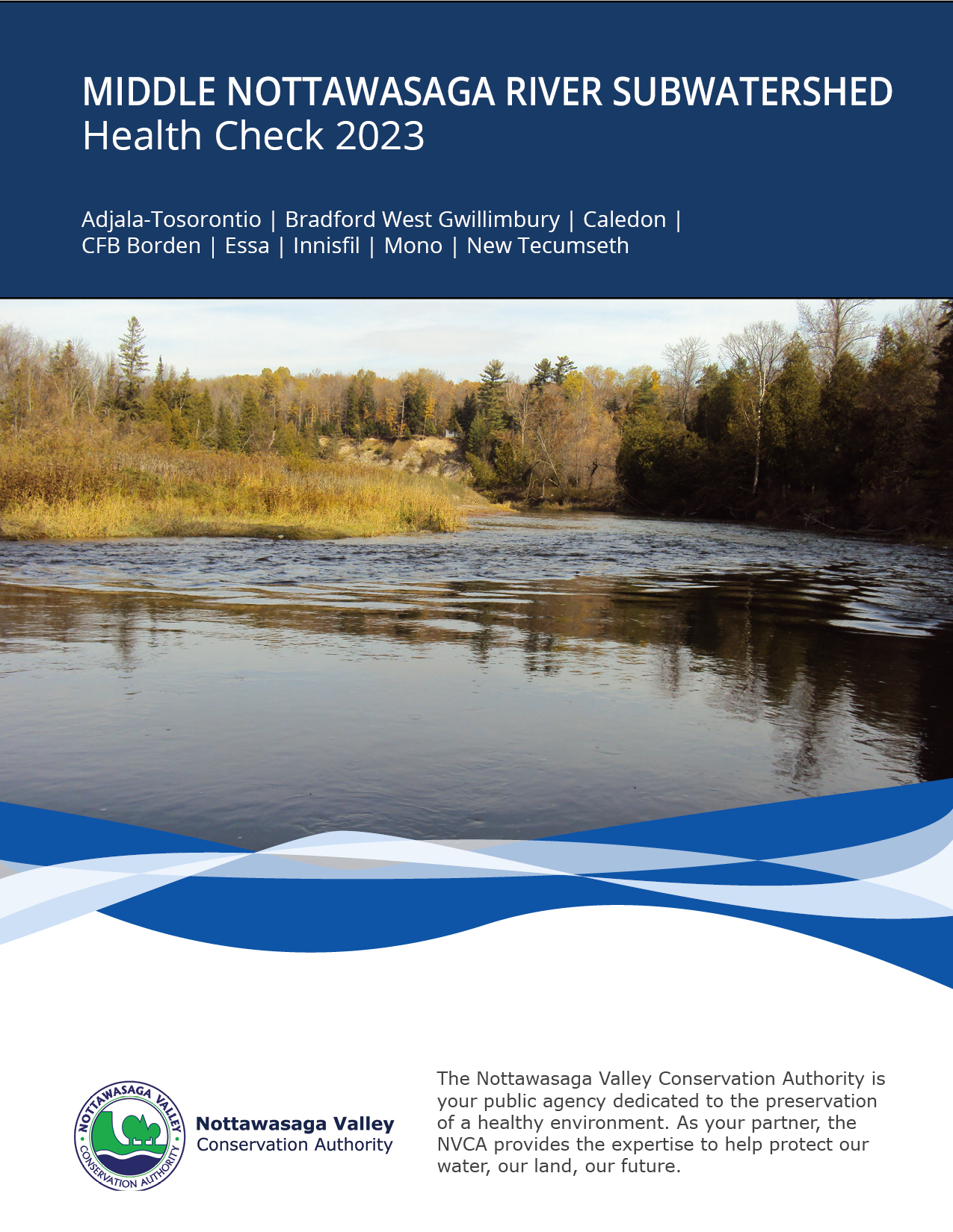
Middle Nottawasaga River Subwatershed Health Check
The Middle Nottawasaga River extends from the river confluence with Innisfil Creek (southeast of Alliston) downstream to Angus.
The Middle Nottawasaga River subwatershed covers the Township of Adjala-Tosorontio, Town of Bradford West Gwillimbury, Town of Caledon, CFB Borden, Township of Essa, Town of Innisfil, Town of Mono and Town of New Tecumseth.
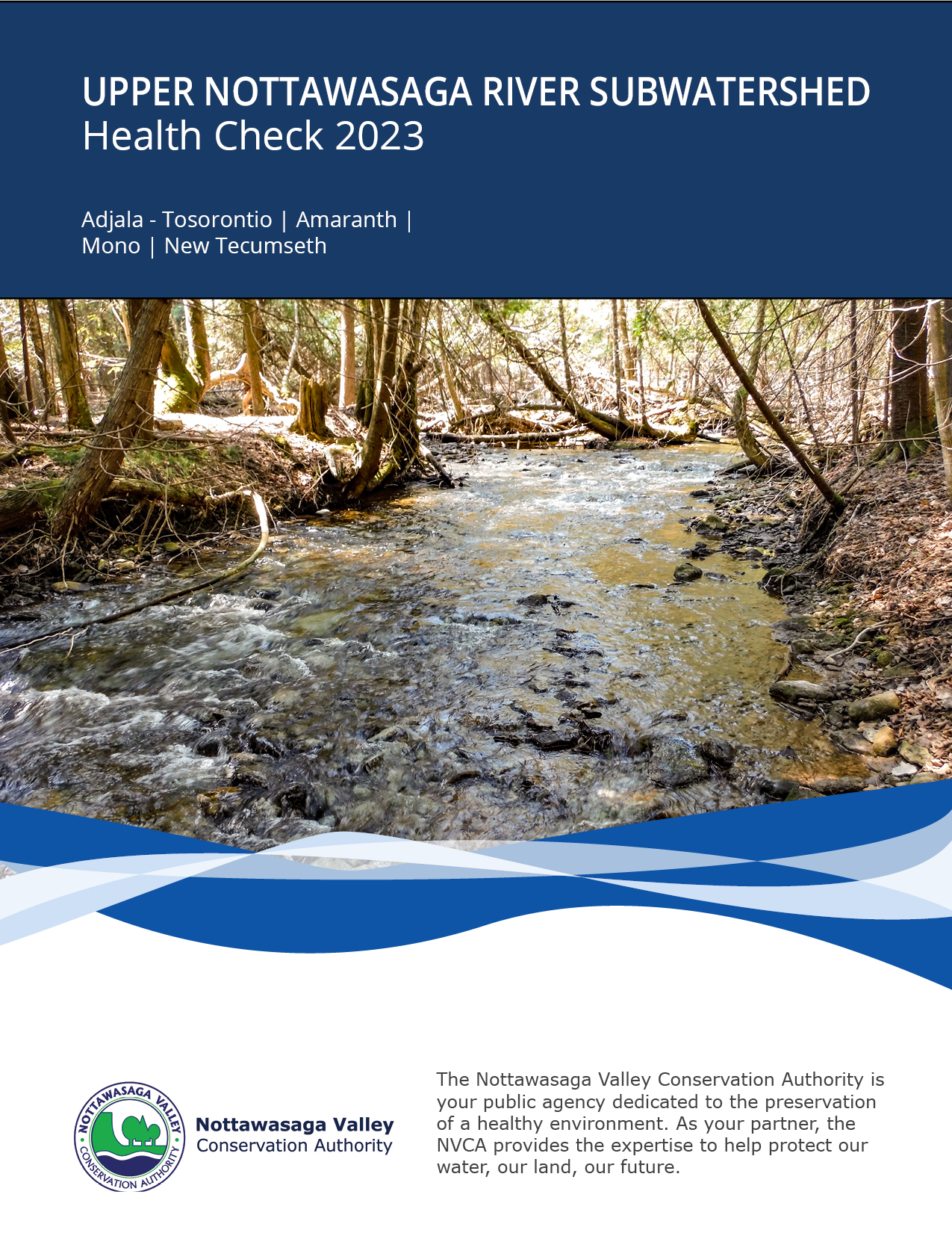
Upper Nottawasaga River Subwatershed Health Check
The Upper Nottawasaga River arises as two stream branches within a series of wetlands west of the Niagara Escarpment near the hamlets of Elba and Camilla.
The Upper Nottawasaga River subwatershed covers the Township of Adjala-Tosorontio, Township of Amaranth, Town of Mono and the Town of New Tecumseth.
Older versions of the NVCA's Watershed Health Checks are available below.
The NVCA began producing Subwatershed Report Cards in 2007. In 2013, these were re-launched with the title “Health Check” to ensure a distinction between these and the provincial Watershed Report Cards.
Along with many of the 36 conservation authorities in Ontario, the NVCA produces a Watershed Report Card. This was designed by conservation authority staff under the guidance of Conservation Ontario in order to allow a province-wide snapshot of water quality, forest conditions, groundwater quality and wetlands based on a common set of measurements and criteria.
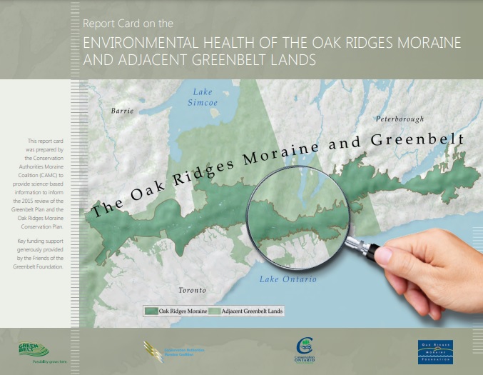
This report card is a measurement of the health of the Oak Ridges Moraine and adjacent Greenbelt watersheds. It has been prepared with the Conservation Authorities Moraine Coalition to provide science-based monitoring data and analysis to help inform the 2015 review of the Greenbelt Plan and the Oak Ridges Moraine Conservation Plan. Funding support was generously provided by the Friends of the Greenbelt Foundation.