Upper Mad River Flood Hazard Study
The Nottawasaga Valley Conservation Authority (NVCA) and the Township of Clearview invite members of the public to comment on the Upper Mad River Flood Hazard Study.
The study produces new flood hazard maps for the community of Creemore within the Mad River subwatershed in accordance with current provincial and federal mapping guidelines. The updated flood hazard information further establishes the areas in the settlement of Creemore that are safe from natural hazards such as flooding, and will inform future community planning and development, and risk management. It will also allow NVCA to recognize how the Mad River and its tributaries respond to significant storm events.
As part of the project, the Township and NVCA are pleased to initiate the Public Engagement component of the project. Download the Upper Mad River Flood Hazard Mapping DRAFT Hydraulic Modelling Report below:
The commenting period will be open until March 15, 2024. For comments on the Upper Mad River Flood Hazard Study, please email Dalia Al-Ali, Manager, Engineering Services at NVCA at dal-ali@nvca.on.ca.
This product is for informational purposes and may not have been prepared for, or be suitable for legal, engineering, or surveying purposes. Users of the information displayed in this map product are strongly cautioned to verify all information before making any decisions. © 2024~ Reproduction of this map is prohibited without written permission from the Nottawasaga Valley Conservation Authority.
Public Information Centre
On February 29, 2024, NVCA and the Township of Clearview hosted a Public Information Centre (PIC) for members of the public to learn more about this important project. The PIC featured a live demonstration of the flood model results and provided additional information on the project. For questions about the study, please contact Dalia Al-Ali, Manager, Engineering Services at dal-ali@nvca.on.ca.
Background information
Several years ago, NVCA led a multi-year project to undertake a watershed-wide flood risk assessment, which identified and prioritized Flood Damage Centres within the Nottawasaga watershed. The prioritization of the Flood Damage Centres is based on the following categories: flood event warning time, population impacted, affected roads for pedestrian access, affected roads for vehicle access, and expected annual damages.
The community of Creemore was identified as the fifth out of nine Flood Damage Centres in the Nottawasaga Watershed. The community of Creemore is part of the Mad River subwatershed. The subwatershed drains an area of 252 km2 and is located with NVCA regulated area. The subwatershed study area extends 26 km from its farthest headwaters to its outlet point upstream of Glencairn. The primary reach within the study area passes through the villages of Creemore and Avening within the Township of Clearview.
NVCA partnered with the Government of Canada (Natural Resources Canada) and the Province of Ontario (Ministry of Natural Resources and Forestry) as part of the Flood Hazard Identification and Mapping Program (FHIMP) to develop flood hazard maps for municipalities and territories. The Township of Clearview provided the remaining 50% of funding to match the funding received through FHIMP.
History of Flooding in Creemore
The community of Creemore in the Township of Clearview has had a history of flooding since the early 1900s. Historical flooding has been observed by the NVCA at the south limits of the community of Creemore between Mill Street and Mary Street, in the fields located between County Road 9 and Edward Street, from Edward Street to Concession 3 as well as within the village of Avening.
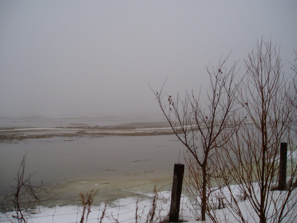
Flooding in East Creemore north of Edward Street
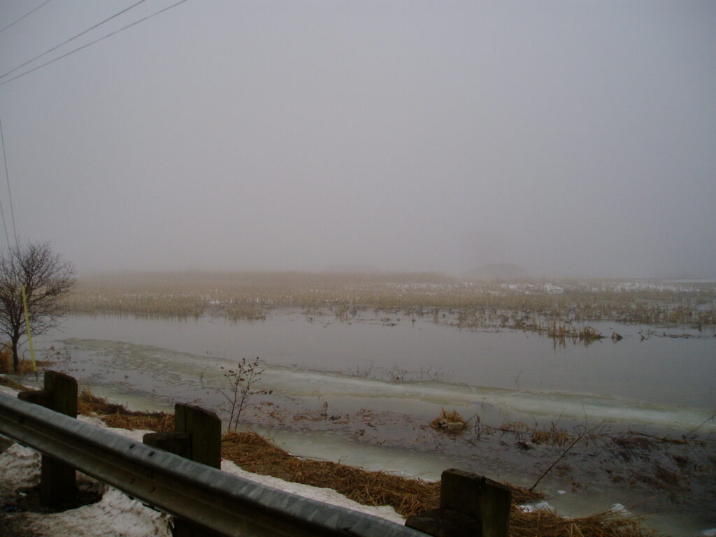
Flooding in East Creemore south of County Road 9

This project is funded in part by the Government of Canada.