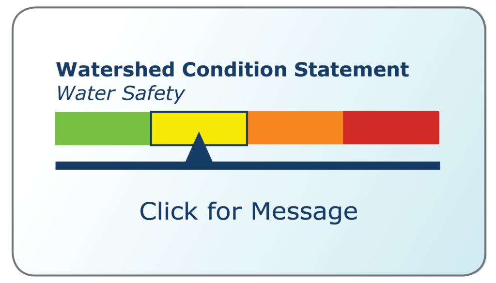
Flood Potential: Low
Ice Jam Potential: Low
Issued to: local municipalities and school boards, local conservation authorities, emergency response agencies, health unit, media
Date: January 4, 2023 (3:00 PM)
The Nottawasaga Valley Conservation Authority advises that warm temperatures and rain over the next 24 hours will cause our snowpack to melt and increase flows in area watercourses. The public and especially children are advised to stay away from all area water bodies as unstable ice cover, slippery banks and fast flowing watercourses will result in dangerous conditions.
The Surface Water Monitoring Centre (SWMC) of the Ministry of Natural Resources and Forestry (MNRF) is tracking a Colorado Low moving slowly through southern Ontario over the next 3 days, bringing continued above freezing temperatures for most of the region, and heavy rain for southwestern Ontario. As a result of the previous rainfall over the last 4 days and highly saturated or bare frozen ground conditions, elevated runoff can be expected from the forecast rain.
Melting snow and runoff will result in increases in stream flows and possible ice break up. No major flooding is anticipated, however local conditions may vary. At this time of year there is always the potential for localized flooding and ice jams.
The Nottawasaga Valley Conservation Authority continues to monitor river and stream conditions and will issue additional messages as conditions warrant. This statement will be in effect until Friday, January 6, 2023.
For additional information, please check our website at:www.nvca.on.ca
Mark Hartley
Flood Duty Officer
A Watershed Condition Statement is a general notice of weather conditions that could pose a risk to personal safety or which have the potential to lead to flooding. A Water Safety message indicates that high flows, unsafe banks, melting ice or other factors could be dangerous for recreational users such as anglers, canoeists, hikers, children, pets, etc. Flooding is not expected.